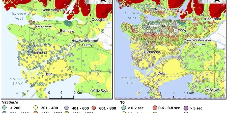
Too many projects in the Triad still default to a generic Site Class D without verifying local soil amplification. That shortcut backfires fast in Winston-Salem. The city sits on a complex transition from the Blue Ridge foothills to Triassic basin sediments, and the shear-wave velocity can shift dramatically within half a mile. We run microzonation campaigns that map Vs30, predominant period, and site amplification across the parcel—not just at one boring. The output feeds directly into ASCE 7 ground-motion selection and structural design. When the subsurface includes deep saprolite or interbedded silts, we pair the MASW profiling with seismic refraction to nail the bedrock depth where the soil column amplifies long-period energy. That combination catches velocity inversions that a single-method survey would miss.
A measured Vs30 that reclassifies the site from D to C can drop the design base shear by 20 percent—structural savings that pay for the geophysics.
Scope of work
Our field protocol starts with multi-station surface-wave arrays and downhole shear-wave measurements, calibrated against SPT borings logged under ASTM D1586. We extract Vs profiles, compute NEHRP site parameters, and map the spatial distribution of site period across the buildable area. For critical facilities, we overlay the liquefaction potential index where the water table is shallow and the fines content is low.
Deliverables include gridded Vs30 maps, design acceleration spectra per ASCE 7-22, and a site-specific response spectrum that often reduces the short-period plateau compared to the default code spectrum—saving structural steel while staying fully compliant. For deep foundation design, we tie the microzonation results to liquefaction triggering analysis using SPT-based procedures calibrated to the Central/Eastern US seismic source model.
Area-specific notes
One pattern we see repeatedly in Winston-Salem: a geotechnical report assigns Site Class D based on a single SPT boring at the corner of the lot, but the actual Vs30 varies by 100 m/s across the building pad because the saprolite depth changes. That misclassification puts the structural engineer on the wrong design spectrum. The consequence is either an unsafe under-design or an overly conservative frame that wastes money on steel. Another quiet risk is short-period amplification on shallow bedrock ridges near the Wake Forest University area—site period drops below 0.2 seconds and the code spectrum may underpredict the spectral acceleration for stiff, low-rise structures. A microzonation catches both problems before the foundation drawings go out. For sites along the Peters Creek alluvium, the water table sits high enough that liquefaction becomes a real concern under the 2,475-year motion, and you need the spatial map to decide where to densify.
Standards used
ASCE 7-22 Chapter 11 and Chapter 21 (Site-Specific Ground Motions), ASTM D4428/D4428M for crosshole seismic testing, ASTM D7400 for downhole shear-wave velocity, ASTM D1586 for SPT calibration borings, NCEER/Youd-Idriss 2001 for liquefaction triggering
Linked services
Vs30 Mapping and NEHRP Site Classification
Multi-method surface-wave and downhole campaigns across the site, delivering gridded Vs30 maps, site period contours, and the IBC/ASCE 7 site class for each building footprint. We handle the full workflow from field acquisition to design spectra.
Site-Specific Ground Motion and Liquefaction Overlay
For essential facilities and tall structures, we run one-dimensional equivalent-linear site response in DEEPSOIL or STRATA, paired with liquefaction triggering analysis where the Triassic basin sediments are saturated. The report includes uniform hazard spectra and time histories matched to the site amplification function.
Typical parameters
Quick answers
How much does a seismic microzonation study cost for a typical Winston-Salem commercial site?
For a moderate-sized commercial parcel in the Winston-Salem area, microzonation campaigns typically range from US$4,150 to US$18,430. The spread depends on site acreage, number of measurement stations, depth to bedrock, and whether you need a full site-specific ground-motion hazard analysis or a simplified Vs30 mapping. A small 2-acre lot with shallow refusal runs at the lower end; a multi-building campus with deep Triassic basin sediments and liquefaction overlay pushes toward the upper bound.
What is the difference between a regional hazard map and a site-specific microzonation?
Regional probabilistic seismic hazard maps from the USGS give a broad-brush PGA at rock level for a 2,475-year return. They do not capture local soil amplification, basin resonance, or topographic effects. A microzonation measures Vs30 and site period at multiple points across your parcel, then computes a site-specific response spectrum that reflects actual stratigraphy—not a default Site Class assumption.
Which ASTM standards govern the field measurements during a microzonation?
The primary standard for active-source surface-wave methods is ASTM D4428/D4428M for crosshole seismic testing. For downhole shear-wave velocity profiling we follow ASTM D7400. Passive-source array methods rely on the guidelines established under the NEHRP site-classification framework. SPT borings used for calibration are performed under ASTM D1586, and soil classification follows ASTM D2487.
Can a microzonation study reduce my foundation costs in Winston-Salem?
Yes. When the measured Vs30 and site period justify a stiffer site class than the conservative default, the design spectral accelerations drop—sometimes by 15 to 30 percent. That directly reduces base shear demands on the structure, allowing lighter framing, smaller footings, and shorter piles. The study cost is often recovered in structural savings alone on projects over 20,000 square feet.